|
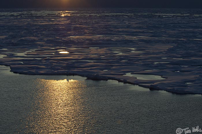 |
| The southern limit of the pack ice in Nares Strait betwen Ellesmere Island and Greenland creates a rosy-dark landscape as the sun goes down. | ArcticQ_20080831_212440_535_2X.jpg |
| IceScape | Copyright (c) Tom Nolle CIMI Corp. All rights reserved. |
| Total images: 354 | Last update: 6/6/09 1:24 PM | Help |