|
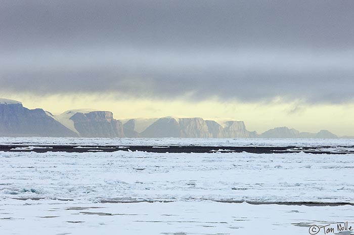 |
| We now turn north to see if we can reach the boundary with the Lincoln Sea at 82 degrees North latitude. This is the coast of Greenland just outside the Robeson Channel and Fort Conger in the Kennedy Channel between Ellesmere Island and northwest Greenland. | ArcticQ_20080901_150444_662_2X.jpg |
| Heading North | Copyright (c) Tom Nolle CIMI Corp. All rights reserved. |
| Total images: 354 | Last update: 6/6/09 1:24 PM | Help |